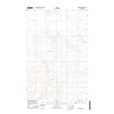
2017 Map of Johnson Lake
USGS Topo · Published 2017About this map
Big Muddy Creek meanders through this portion of Roosevelt County, Montana, defining a landscape dominated by prairie wetlands and intermittent drainages. In this 2017 topographic survey, the terrain is characterized by the presence of significant water bodies like Johnson Lake and Homestead Lake, which serve as focal points in an otherwise arid region. The sparse network of section roads, including W Froid Rd and Star Rd, follows the rigid lines of the Public Land Survey System, specifically within t30n r55e and t29n r55e. Watercourses such as Sheep Cr and Sand Cr cut through the elevation contours, illustrating the natural drainage patterns that have likely influenced local land use and ranching boundaries for generations. This map provides a detailed look at the physical geography of the Fort Kipp District before further modern development or landscape changes.
Find a feature on this map
17 named features on this map. Tap any name to fly to it.
Don’t see what you’re looking for? This feature index may not catch every label — zoom into the map to look around manually.
Map Details
Editions of this 2017 Johnson Lake Map
This is the sole edition of this map. No revisions or reprints were ever made.
Other maps of this area

1914 · Homestead
USGS Topo · 1:62,500

1947 · Rocky Point
USGS Topo · 1:24,000

1947 · Homestead
USGS Topo · 1:24,000

1948 · Homestead
USGS Topo · 1:24,000

1948 · Rocky Point
USGS Topo · 1:24,000

1948 · Medicine Lake
USGS Topo · 1:24,000

1948 · Fort Kipp
USGS Topo · 1:24,000

1949 · Fort Kipp
USGS Topo · 1:24,000
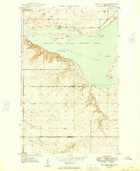
1949 · Medicine Lake
USGS Topo · 1:24,000

1949 · Johnson Lake
USGS Topo · 1:24,000