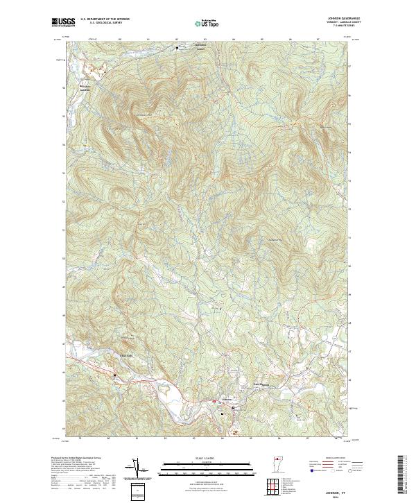
2024 Map of Johnson
USGS Topo · Published 2024This historical map portrays the area of Johnson in 2024, primarily covering Lamoille County. Featuring a scale of 1:24000, this map provides a highly detailed snapshot of the terrain, roads, buildings, counties, and historical landmarks in the Johnson region at the time. Published in 2024, it is the sole known edition of this map.
Map Details
Editions of this 2024 Johnson Map
This is the sole edition of this map. No revisions or reprints were ever made.
Historical Maps of Ithiel Falls Through Time
20 maps found

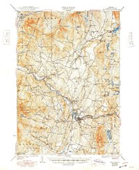
1925 Mount Mansfield
Lamoille County, VT

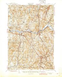
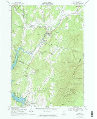
1927 Hyde Park
Lamoille County, VT
1927 Mount Mansfield
Lamoille County, VT
1930 Hyde Park
Lamoille County, VT
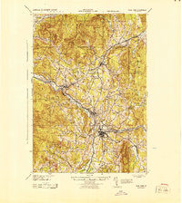
1943 Hyde Park
Lamoille County, VT

1944 Mount Mansfield
Lamoille County, VT
1948 Mount Mansfield
Lamoille County, VT
1948 Mount Mansfield
Lamoille County, VT
1953 Hyde Park
Lamoille County, VT
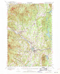
1968 Stowe
Lamoille County, VT
1986 Eden
Lamoille County, VT
1986 Johnson
Lamoille County, VT
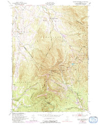
1986 Sterling Mountain
Lamoille County, VT
1997 Mount Mansfield
Lamoille County, VT
1998 Sterling Mountain
Lamoille County, VT
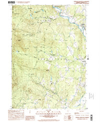
2024 Eden
Lamoille County, VT
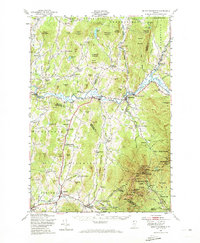
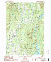
2024 Johnson
Lamoille County, VT
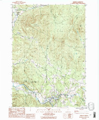
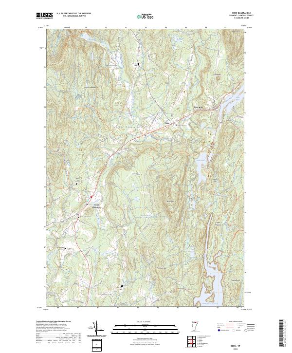
2024 Mount Mansfield
Lamoille County, VT
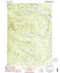
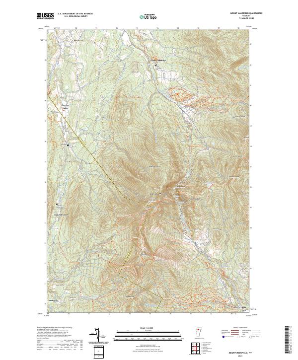
2024 Sterling Mountain
Lamoille County, VT
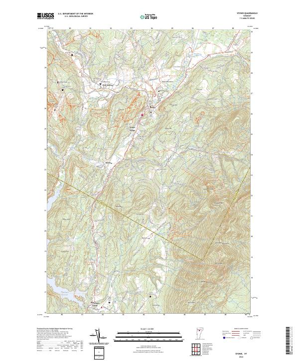
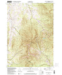
2024 Stowe
Lamoille County, VT