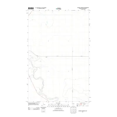
2013 Map of Johnson Landing NW
USGS Topo · Published 2013About this map
The winding Big Fork River carves a deep, serpentine path through this portion of Koochiching County, joined from the north by the Bear River. This landscape is characterized by its dramatic river bends and the rural infrastructure that supports the surrounding timber and agricultural lands. Central to the local history of the area is Larson Cem, situated just south of CO Hwy-31. The transport network relies on a grid of county and state routes, including MN-6 and the prominent Dentaybow Rd, which provides access to the interior wetlands and woods. This 2013 survey illustrates how the modern road system, such as Us-71, navigates the complex hydrology of northern Minnesota while preserving small, localized landmarks of past generations.
Find a feature on this map
9 named features on this map. Tap any name to fly to it.
Don’t see what you’re looking for? This feature index may not catch every label — zoom into the map to look around manually.
Map Details
Editions of this 2013 Johnson Landing NW Map
This is the sole edition of this map. No revisions or reprints were ever made.
Other maps of this area

1919 · Happy Land
USGS Topo · 1:62,500

1919 · M
USGS Topo · 1:62,500

1919 · Margie
USGS Topo · 1:62,500

1943 · Lindford
USGS Topo · 1:62,500

1954 · International Falls
USGS Topo · 1:250,000

1957 · International Falls
USGS Topo · 1:250,000

1958 · International Falls
USGS Topo · 1:250,000

1970 · Johnson Landing SE
USGS Topo · 1:24,000

1970 · Littlefork SE
USGS Topo · 1:24,000

1970 · Littlefork SW
USGS Topo · 1:24,000