
1970 Map of Littlefork SW
USGS Topo · Published 1973About this map
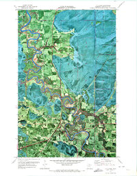
Koochiching State Forest dominates this northern Minnesota landscape, revealing a remote wilderness defined by seasonal access and the timber industry as it stood in the early 1970s. The map illustrates a complex network of seasonal transportation, including the Winter Trail and Winter Trails that cross through low-lying marshlands and forests. These routes were essential for regional movement and logging when the ground was frozen, providing a stark contrast to the permanent line of the Burlington Northern railroad that cuts diagonally across the terrain. Waterways like the Bear River and Hay Creek wind through the township grids, while the Wisner Grove Trail offers another glimpse into the backcountry roads of the era. A solitary Gravel Pit indicates local resource extraction, serving as a rare industrial mark on an otherwise largely undeveloped forest expanse.
Find a feature on this map
8 named features on this map. Tap any name to fly to it.
Don’t see what you’re looking for? This feature index may not catch every label — zoom into the map to look around manually.
Map Details
Editions of this 1970 Littlefork SW Map
This is the sole edition of this map. No revisions or reprints were ever made.
Other maps of this area

1919 · Happy Land
USGS Topo · 1:62,500

1919 · M
USGS Topo · 1:62,500

1919 · Margie
USGS Topo · 1:62,500

1943 · Lindford
USGS Topo · 1:62,500

1954 · International Falls
USGS Topo · 1:250,000

1957 · International Falls
USGS Topo · 1:250,000

1958 · International Falls
USGS Topo · 1:250,000

1970 · Littlefork SE
USGS Topo · 1:24,000
1970 · Littlefork
USGS Topo · 1:24,000
1970 · Lindford
USGS Topo · 1:24,000