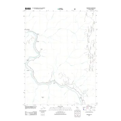
2012 Map of Johnsons
USGS Topo · Published 2012About this map
The Klamath River carves a deep path through this river-canyon landscape, serving as the central artery for a string of riverside settlements including Johnsons, Pecwan, and Surgone. This 2012 survey illustrates the remote character of northern Humboldt County, where habitation is largely tied to the river's course and the winding roads like McKinnon Hill Rd and Notchko Flat Rd that navigate the steep drainages.
Find a feature on this map
55 named features on this map. Tap any name to fly to it.
Don’t see what you’re looking for? This feature index may not catch every label — zoom into the map to look around manually.
Map Details
Editions of this 2012 Johnsons Map
This is the sole edition of this map. No revisions or reprints were ever made.
Other maps of this area

1925 · Hoopa
USGS Topo · 1:125,000

1945 · Coyote Peak
USGS Topo · 1:62,500

1945 · Tectah Creek
USGS Topo · 1:62,500

1948 · Weed
USGS Topo · 1:250,000

1950 · Weed
USGS Topo · 1:250,000

1952 · Coyote Peak
USGS Topo · 1:62,500

1952 · Hoopa
USGS Topo · 1:62,500

1952 · Orleans
USGS Topo · 1:62,500

1952 · Tectah Creek
USGS Topo · 1:62,500

1958 · Weed
USGS Topo · 1:250,000