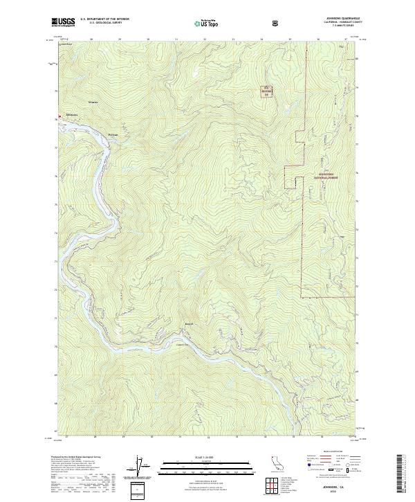
2022 Map of Johnsons
USGS Topo · Published 2022About this map
The Klamath Wild and Scenic River carves a deep path through the northwestern California landscape, anchoring a series of river-dependent settlements. These small communities, including Johnsons, Pecwan, and Kep'el, are situated along the lower river corridor where local road networks like Martin's Ferry Rd and Notch-Ko-Village Rd navigate the steep rises toward Pecwan Ridge. The map illustrates a rural interior dominated by the Six Rivers National Forest, where numerous creeks like Pecwan Cr and Bluff Creek feed into the main waterway.
Find a feature on this map
62 named features on this map. Tap any name to fly to it.
Don’t see what you’re looking for? This feature index may not catch every label — zoom into the map to look around manually.
Map Details
Editions of this 2022 Johnsons Map
This is the sole edition of this map. No revisions or reprints were ever made.
Other maps of this area

1925 · Hoopa
USGS Topo · 1:125,000

1945 · Coyote Peak
USGS Topo · 1:62,500

1945 · Tectah Creek
USGS Topo · 1:62,500

1948 · Weed
USGS Topo · 1:250,000

1950 · Weed
USGS Topo · 1:250,000

1952 · Coyote Peak
USGS Topo · 1:62,500

1952 · Hoopa
USGS Topo · 1:62,500

1952 · Orleans
USGS Topo · 1:62,500

1952 · Tectah Creek
USGS Topo · 1:62,500

1958 · Weed
USGS Topo · 1:250,000