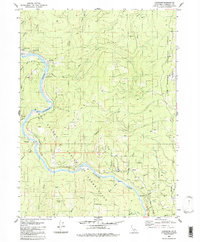
1982 Map of Johnsons
USGS Topo · Published 1983About this map
The Klamath River carves a deep path through this 1982 survey of the Hoopa Valley Indian Reservation, where small settlements and family ranches line the riverbanks. The community of Johnsons and the Jack Norton Sch serve as focal points near the northern bend, while smaller landings like Surgone, Mettah, and Notchko mark the river's progress downstream. The rugged geography is defined by numerous steep drainages including Pecwan Creek, Johnson Creek, and Roach Creek, which feed into the main channel from the surrounding Six Rivers National Forest.
Find a feature on this map
52 named features on this map. Tap any name to fly to it.
Don’t see what you’re looking for? This feature index may not catch every label — zoom into the map to look around manually.
Map Details
Editions of this 1982 Johnsons Map
This is the sole edition of this map. No revisions or reprints were ever made.
Other maps of this area

1925 · Hoopa
USGS Topo · 1:125,000

1945 · Coyote Peak
USGS Topo · 1:62,500

1945 · Tectah Creek
USGS Topo · 1:62,500

1948 · Weed
USGS Topo · 1:250,000

1950 · Weed
USGS Topo · 1:250,000

1952 · Coyote Peak
USGS Topo · 1:62,500

1952 · Hoopa
USGS Topo · 1:62,500

1952 · Orleans
USGS Topo · 1:62,500

1952 · Tectah Creek
USGS Topo · 1:62,500

1958 · Weed
USGS Topo · 1:250,000