2024 Map of Johnsonville
USGS Topo · Published 2024About this map
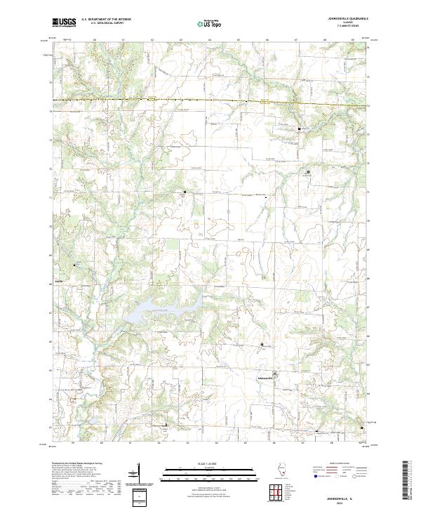
Johnsonville sits near the southern edge of this Illinois landscape, which straddles the boundary between Clay Co and Wayne Co. The terrain is defined by a dendritic network of streams, including Brush Creek, Bear Creek, and the Dry Fork, which feed into the central waters of Sam Dale Lake. This contemporary survey reveals a rural infrastructure still anchored by family and community landmarks, evidenced by a high density of small cemeteries such as Smyer Old Cem and Wesley Chapel Cem. The settlement pattern follows a rigid section-line grid of rural roads, with the community of Zenith marking the western edge of the quadrangle. Significant water features like Rattlesnake Creek and Gum Branch carve through the agricultural fields, illustrating the drainage patterns that have influenced land use in this part of the Prairie State.
Find a feature on this map
82 named features on this map. Tap any name to fly to it.
Don’t see what you’re looking for? This feature index may not catch every label — zoom into the map to look around manually.
Map Details
Editions of this 2024 Johnsonville Map
This is the sole edition of this map. No revisions or reprints were ever made.
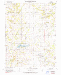
Historical Maps of Johnsonville Through Time
Featured Locations
- Harter Township, IL
- Keith Township, IL
- Indian Prairie Township, IL
- Zenith, IL
- Johnsonville, Indian Prairie Township