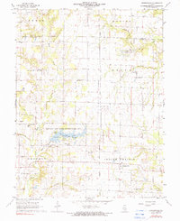
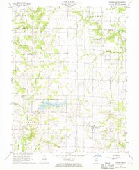
1968 Map of Johnsonville
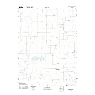
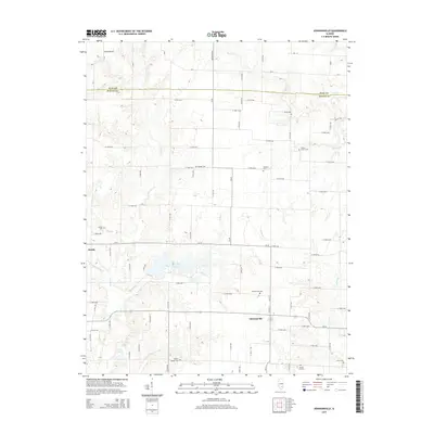
USGS Topo · Published 1990About this map
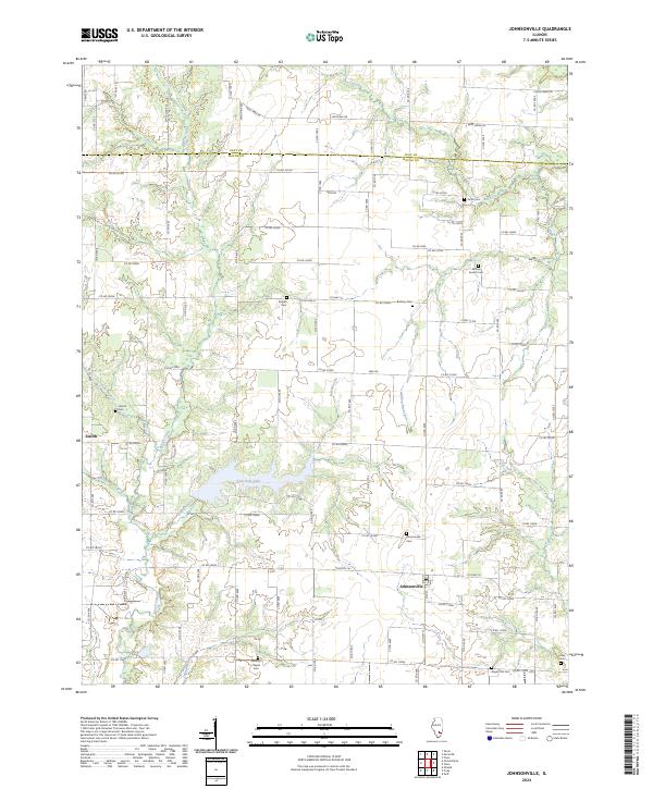
Indian Prairie and the surrounding townships in Wayne County show a landscape defined by small-scale agriculture and a productive petroleum industry during the late 1960s. The village of Johnsonville serves as a primary hub, while the sprawling Sam Dale Lake State Conservation Area provides a significant recreational anchor centered on Sam Dale Lake. Numerous active pumping areas, such as the Zenith North Oil Field and Johnsonville West Oil Field, are scattered across the terrain, indicating the importance of the local oil economy alongside rural farming operations.
Find a feature on this map
38 named features on this map. Tap any name to fly to it.
Don’t see what you’re looking for? This feature index may not catch every label — zoom into the map to look around manually.
Map Details
Editions of this 1968 Johnsonville Map
2 editions found
Historical Maps of Johnsonville Through Time
6 maps found
Featured Locations
- Harter Township, IL
- Keith Township, IL
- Indian Prairie Township, IL
- Zenith, IL
- Johnsonville, Indian Prairie Township