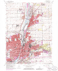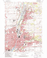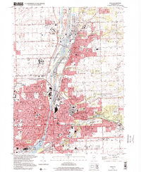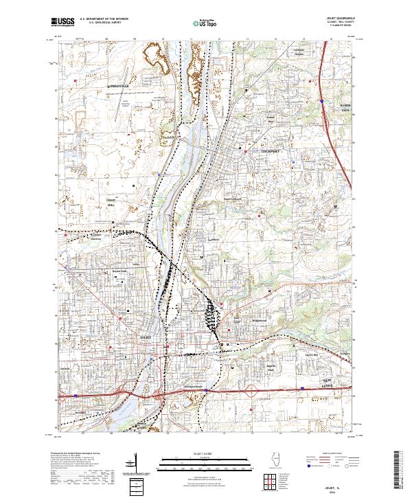
2024 Map of Joliet
USGS Topo · Published 2024About this map
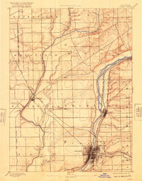
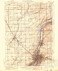
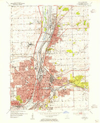
The Des Plaines River corridor defines this industrial and residential landscape, anchored by the dense urban layout of Joliet and its surrounding townships. This modern survey illustrates the proximity of the Ship Canal to historic neighborhoods like Lidice and Fairmont, reflecting the region's enduring role as a transportation and logistics hub. The map provides significant genealogical value through its detailed labeling of numerous burial grounds, including the Stateville Prison Cem, Russian Cem, and the historic Oakwood Cem. Institutional footprints are prominent, ranging from the Will County Courthouse in the city center to the sprawling Lewis University campus in Romeoville. Tributaries such as Hickory Creek and Spring Creek cut through established communities like Ridgewood and Ingalls Park, marking the transition between the river valley's industrial infrastructure and the residential growth extending toward New Lenox.
Find a feature on this map
55 named features on this map. Tap any name to fly to it.
Don’t see what you’re looking for? This feature index may not catch every label — zoom into the map to look around manually.
Map Details
Editions of this 2024 Joliet Map
This is the sole edition of this map. No revisions or reprints were ever made.
Historical Maps of Ingalls Park Through Time
8 maps found