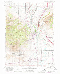
1951 Map of Jones Narrows
USGS Topo · Published 1980About this map
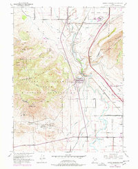
The Jordan River carves through the gap at Jordan Narrows, a critical choke point for irrigation and transport between the Salt Lake and Utah valleys. This mid-century landscape is defined by its infrastructure, from the Utah State Prison in the north to the extensive Camp Williams Military Reservation that spans the Traverse Mountains. The map illustrates a complex network of water management, including the Utah Lake Distributing Canal and the Provo Reservoir Canal, which supported the agriculture of settlements like Bluffdale and Clinton. Rail history is prominently featured with the Union Pacific and Denver and Rio Grande Western lines, while the Salt Lake and Utah Railroad (Abandoned) traces a former electric interurban route. Industrial activity is concentrated at numerous Gravel Pits near Mount and Nash, highlighting the local resource extraction during this era of regional growth.
Find a feature on this map
40 named features on this map. Tap any name to fly to it.
Don’t see what you’re looking for? This feature index may not catch every label — zoom into the map to look around manually.
Map Details
Editions of this 1951 Jones Narrows Map
6 editions found
Other maps of this area

1885 · Salt Lake
USGS Topo · 1:250,000

1885 · Tooele Valley
USGS Topo · 1:250,000

1915 · Fairfield
USGS Topo · 1:62,500

1917 · Fairfield
USGS Topo · 1:62,500

1925 · Ft. Douglas
USGS Topo · 1:125,000

1928 · Ft. Douglas
USGS Topo · 1:125,000

1950 · Pelican Point
USGS Topo · 1:24,000
1951 · Pelican Point
USGS Topo · 1:24,000

1951 · Jordan Narrows
USGS Topo · 1:24,000
1951 · Saratoga Springs
USGS Topo · 1:24,000