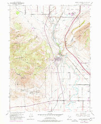
1951 Map of Jordan Narrows
USGS Topo · Published 1978About this map
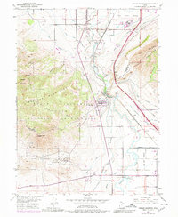
Traverse Mountains dominate this 1951 survey, creating a natural bottleneck that has historically dictated the movement of water, rails, and people between two major Utah valleys. The Jordan Narrows serves as the focal point for an extensive hydraulic network, where the Jordan River flows alongside a complex system of irrigation works including the Utah Lake Distributing Canal, Provo Reservoir Canal, and the Salt Lake City Canal.
Find a feature on this map
39 named features on this map. Tap any name to fly to it.
Don’t see what you’re looking for? This feature index may not catch every label — zoom into the map to look around manually.
Map Details
Editions of this 1951 Jordan Narrows Map
6 editions found
Other maps of this area

1885 · Salt Lake
USGS Topo · 1:250,000

1885 · Tooele Valley
USGS Topo · 1:250,000

1915 · Fairfield
USGS Topo · 1:62,500

1917 · Fairfield
USGS Topo · 1:62,500

1925 · Ft. Douglas
USGS Topo · 1:125,000

1928 · Ft. Douglas
USGS Topo · 1:125,000

1950 · Pelican Point
USGS Topo · 1:24,000
1951 · Pelican Point
USGS Topo · 1:24,000

1951 · Jordan Narrows
USGS Topo · 1:24,000
1951 · Saratoga Springs
USGS Topo · 1:24,000