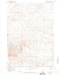
1966 Map of Jones Reservoir
USGS Topo · Published 1970About this map
Dorsey Creek and Elk Creek carve through this high desert portion of Big Horn County, revealing a landscape defined by seasonal water management and ranching boundaries in the mid-1960s. The topographic detail highlights the critical role of small-scale impoundments like Jones Reservoir and the uniquely named Snoopy Reservoir, which likely served as vital watering holes for livestock in an arid environment.
Find a feature on this map
8 named features on this map. Tap any name to fly to it.
Don’t see what you’re looking for? This feature index may not catch every label — zoom into the map to look around manually.
Map Details
Editions of this 1966 Jones Reservoir Map
This is the sole edition of this map. No revisions or reprints were ever made.
Other maps of this area

1951 · Sucker Dam
USGS Topo · 1:24,000

1951 · Schuster Flats NE
USGS Topo · 1:24,000

1951 · Schuster Flats NW
USGS Topo · 1:24,000

1951 · Wardel Reservoir
USGS Topo · 1:24,000

1951 · Otto
USGS Topo · 1:24,000

1955 · Cody
USGS Topo · 1:250,000

1958 · Cody
USGS Topo · 1:250,000

1962 · Cody
USGS Topo · 1:250,000
1966 · Gould Butte
USGS Topo · 1:24,000
1966 · Orchard Bench
USGS Topo · 1:24,000