Loading...
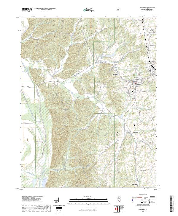
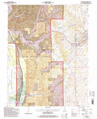
Loading map...2024 Map of Jonesboro
USGS Topo · Published 2024About this map
Jonesboro serves as a focal point for this survey of southern Illinois, anchored by the Union County Courthouse and its historic street grid. The neighboring city of Anna is equally prominent, featuring the Anna State Hospital Reservoir and a network of named local streets like E High St and W Davie St. The topography is defined by the sharp rise of Iron Mtn and the long spine of Atwood Ridge, both set within the protected boundaries of the Shawnee National Forest.
Find a feature on this map
82 named features on this map. Tap any name to fly to it.
Don’t see what you’re looking for? This feature index may not catch every label — zoom into the map to look around manually.
Map Details
Date Portrayed2024
Date Published2024
PublisherU.S. Geological Survey
Map TypeTopographic
Scale1:24000
Physical Dimensions24 x 29 inches
Editions of this 2024 Jonesboro Map
This is the sole edition of this map. No revisions or reprints were ever made.
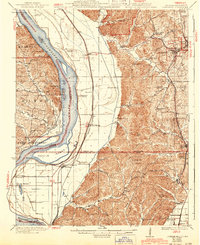
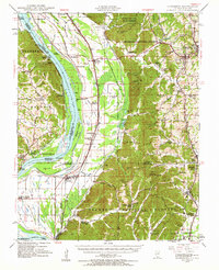
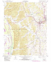
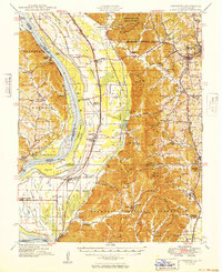
Historical Maps of Jonesboro Through Time
7 maps found

Featured Locations
Source Details
SourceU.S. Geological Survey
CopyrightPublic Domain