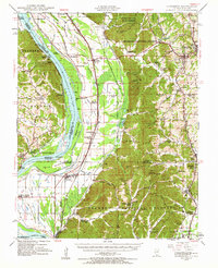
1947 Map of Jonesboro
USGS Topo · Published 1963About this map
The Mississippi River defines the western edge of this 1947 survey, where complex water features like Picayune Chute and Devils Island create a dynamic riverfront landscape. Along the eastern bluffs, the agricultural and spiritual heart of Union County is visible through numerous country churches and small industry, including the Kornthal Church and the Dutch Mills near Jonesboro. The terrain shifts from the broad bottomlands of Hopskin Bottoms and Running Lake to the steep ridges of Shawnee National Forest, where features like Atwood Ridge and Hamburg Hill rise above the valleys.
Find a feature on this map
106 named features on this map. Tap any name to fly to it.
Don’t see what you’re looking for? This feature index may not catch every label — zoom into the map to look around manually.
Map Details
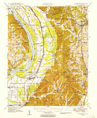
Editions of this 1947 Jonesboro Map
3 editions found

Other maps of this area

1918 · Altenburg
USGS Topo · 1:62,500

1920 · Jonesboro
USGS Topo · 1:62,500

1920 · Dongola
USGS Topo · 1:62,500

1922 · Carbondale
USGS Topo · 1:62,500

1922 · Cape Girardeau
USGS Topo · 1:62,500

1923 · Dongola
USGS Topo · 1:62,500

1923 · Jonesboro
USGS Topo · 1:62,500

1924 · Cape Girardeau
USGS Topo · 1:62,500

1924 · Alto Pass
USGS Topo · 1:62,500

1925 · Altenburg
USGS Topo · 1:62,500