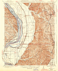
1948 Map of Jonesboro
USGS Topo · Published 1990About this map
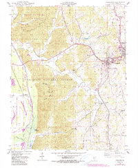
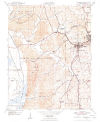
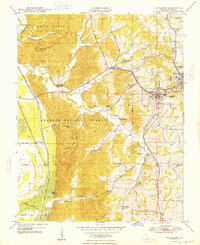
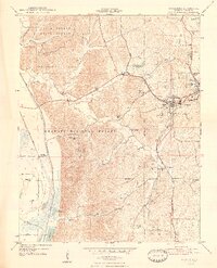
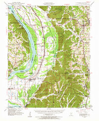
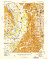
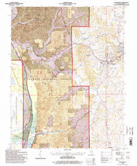
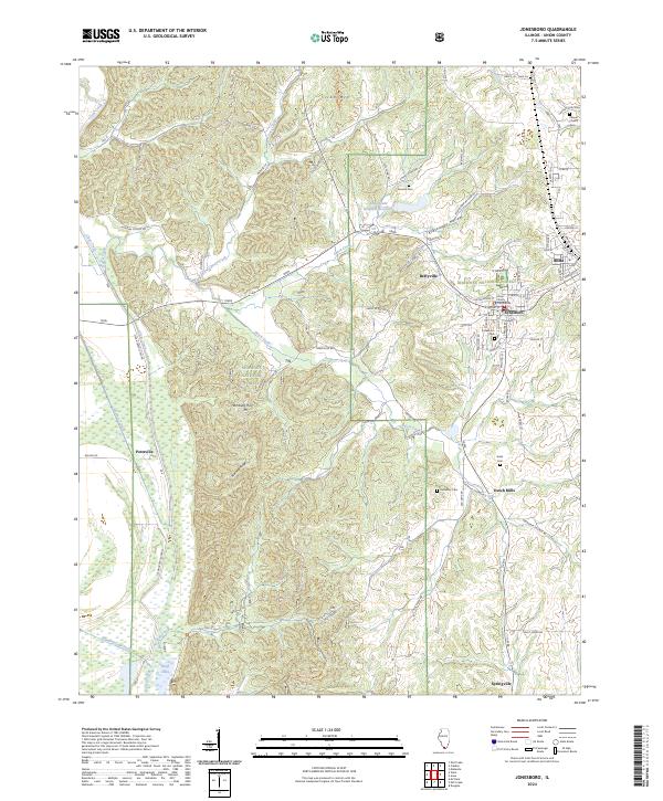
Jonesboro and Anna anchor this study of Union County, situated where the ridge lands meet the bottomlands of Clear Creek. The landscape is defined by the heavy timber of the Trail Of Tears State Forest and Shawnee National Forest, punctuated by family-named landmarks like Hamburg Hill and Atwood Ridge. The eastern half of the map is particularly rich in genealogical sites, including the Kornthal Ch, Kimmel Cem, and the small settlement at Dutch Mills. To the west, the engineering of the Union County State Conservation Area is visible through an extensive network of drainage projects such as the Clear Creek Ditch and the Line C Levee Ditch, which reclaimed the floodplain for agricultural use.
Find a feature on this map
46 named features on this map. Tap any name to fly to it.
Don’t see what you’re looking for? This feature index may not catch every label — zoom into the map to look around manually.
Map Details
Editions of this 1948 Jonesboro Map
4 editions found
Historical Maps of Anna Through Time
11 maps found

1920 Jonesboro
Union County, IL
1923 Jonesboro
Union County, IL
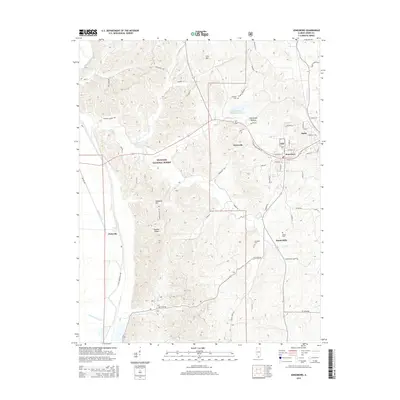
1947 Jonesboro
Union County, IL
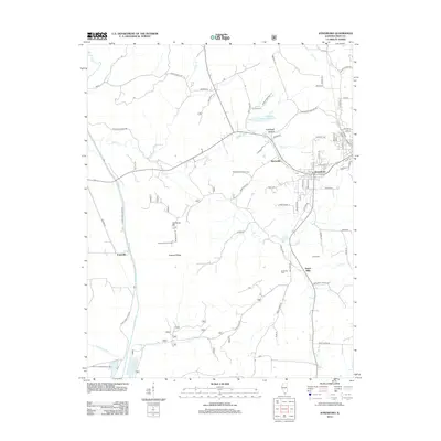
1948 Jonesboro
Union County, IL
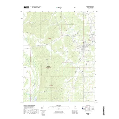
1949 Jonesboro
Union County, IL
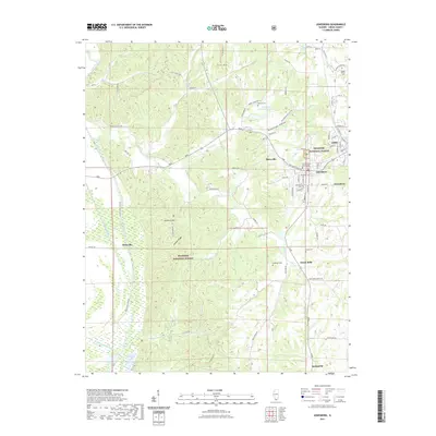
1996 Jonesboro
Union County, IL
2012 Jonesboro
Union County, IL
2015 Jonesboro
Union County, IL
2018 Jonesboro
Union County, IL
2021 Jonesboro
Union County, IL
2024 Jonesboro
Union County, IL