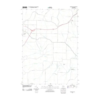
2010 Map of Jonesdale
USGS Topo · Published 2010About this map
Jonesdale and the surrounding Iowa County landscape are defined by the intricate dendritic drainage of the Dodge Branch and its numerous tributaries. This survey captures the rural character of the region just as the Military Ridge State Trl became a primary recreational corridor across the northern section of the map, following a historic ridge-top route. The agricultural layout is anchored by a network of family-named roads like Fitzsimmons Rd and McGraw Rd, reflecting long-standing land ownership patterns. Notable local landmarks include Saint Bridgets Cemetery in the northeast and East Side Cemetery to the west, alongside the Tuschen Airport, which serves this pocket of the Driftless Area. The map provides a clear record of the area's transition into the 21st century, where historic farmstead connections meet modern conservation and recreational land use.
Find a feature on this map
44 named features on this map. Tap any name to fly to it.
Don’t see what you’re looking for? This feature index may not catch every label — zoom into the map to look around manually.
Map Details
Editions of this 2010 Jonesdale Map
This is the sole edition of this map. No revisions or reprints were ever made.
Other maps of this area

1902 · Mineral Point
USGS Topo · 1:125,000

1905 · Richland Center
USGS Topo · 1:125,000

1920 · Blue Mounds
USGS Topo · 1:62,500

1922 · Blue Mounds
USGS Topo · 1:62,500

1923 · Blanchardville
USGS Topo · 1:62,500

1952 · Mineral Point
USGS Topo · 1:24,000

1952 · Dodgeville
USGS Topo · 1:24,000

1954 · Rockford
USGS Topo · 1:250,000

1955 · Rockford
USGS Topo · 1:250,000

1957 · Madison
USGS Topo · 1:250,000