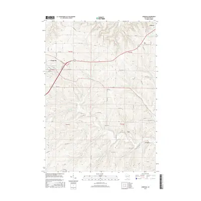
2016 Map of Jonesdale
USGS Topo · Published 2016About this map
The city of Dodgeville anchors the western edge of this Iowa County landscape, where the modern Dodgeville Expy carves through the driftless-area terrain. This 2016 survey documents the rural character of the region, defined by a network of dendritic stream systems like Simmons Br and Dodge Branch that drain toward the southeast. Genealogists will find significant local history in the preservation of several community burial grounds, including East Side Cem, Garrison Grove Cem, and Saint Bridgets Cem near the village of Ridgeway.
Find a feature on this map
54 named features on this map. Tap any name to fly to it.
Don’t see what you’re looking for? This feature index may not catch every label — zoom into the map to look around manually.
Map Details
Editions of this 2016 Jonesdale Map
This is the sole edition of this map. No revisions or reprints were ever made.
Other maps of this area

1902 · Mineral Point
USGS Topo · 1:125,000

1905 · Richland Center
USGS Topo · 1:125,000

1920 · Blue Mounds
USGS Topo · 1:62,500

1922 · Blue Mounds
USGS Topo · 1:62,500

1923 · Blanchardville
USGS Topo · 1:62,500

1952 · Mineral Point
USGS Topo · 1:24,000

1952 · Dodgeville
USGS Topo · 1:24,000

1954 · Rockford
USGS Topo · 1:250,000

1955 · Rockford
USGS Topo · 1:250,000

1957 · Madison
USGS Topo · 1:250,000