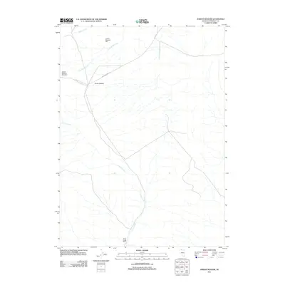
2011 Map of Jordan Meadow
USGS Topo · Published 2011About this map
Jordan Meadow sits at the heart of this high-desert landscape in northern Humboldt County. The terrain is defined by the elevation of Jordan Meadow Mountain and the broad, open expanse of Jordan Meadow Flat to the north. Water sources are critical features here, with drainage provided by the meandering courses of Crowley Creek, Wildcat Creek, and Little Wildcat Creek. At the southern edge of the quadrangle, Trout Creek Valley opens up near the site of Indian Spring. The dominance of named meadows and springs suggests a landscape historically vital for seasonal grazing and water access. Human infrastructure is sparse, primarily represented by the remote Jordan Meadow Rd, which tracks through the sagebrush and scrub-covered topography of this Great Basin environment.
Find a feature on this map
10 named features on this map. Tap any name to fly to it.
Don’t see what you’re looking for? This feature index may not catch every label — zoom into the map to look around manually.
Map Details
Editions of this 2011 Jordan Meadow Map
This is the sole edition of this map. No revisions or reprints were ever made.
Other maps of this area

1882 · Paradise
USGS Topo · 1:250,000

1886 · Disaster
USGS Topo · 1:250,000

1893 · Paradise
USGS Topo · 1:250,000

1893 · Disaster
USGS Topo · 1:250,000

1954 · Vya
USGS Topo · 1:250,000

1955 · McDermitt
USGS Topo · 1:250,000

1958 · Vya
USGS Topo · 1:250,000

1959 · McDermitt
USGS Topo · 1:250,000

1959 · Orovada
USGS Topo · 1:62,500

1959 · Jordan Meadow
USGS Topo · 1:62,500