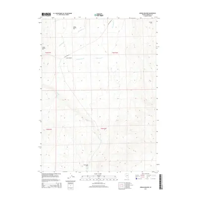
2015 Map of Jordan Meadow
USGS Topo · Published 2015About this map
Jordan Meadow sits at the heart of this high-desert landscape in northern Humboldt County, where drainage networks define the topography of the Great Basin. The terrain is characterized by broad basins like Jordan Meadow Flat and the expansive Trout Creek Valley, bounded by prominent elevations such as Jordan Meadow Mtn and the Sentinel Hills. Water resources, though often seasonal in this environment, are marked by Jordan Meadow Creek, Crowley Creek, and the essential Indian Spring at the southern edge of the survey. The primary human imprint on this remote area is the Jordan Meadow Road, which follows the natural contours of the valley, providing a singular corridor through the township and range divisions. This map serves as a detailed record of the hydrography and elevation of a classic Nevada rangeland before modern land-use shifts.
Find a feature on this map
15 named features on this map. Tap any name to fly to it.
Don’t see what you’re looking for? This feature index may not catch every label — zoom into the map to look around manually.
Map Details
Editions of this 2015 Jordan Meadow Map
This is the sole edition of this map. No revisions or reprints were ever made.
Other maps of this area

1882 · Paradise
USGS Topo · 1:250,000

1886 · Disaster
USGS Topo · 1:250,000

1893 · Paradise
USGS Topo · 1:250,000

1893 · Disaster
USGS Topo · 1:250,000

1954 · Vya
USGS Topo · 1:250,000

1955 · McDermitt
USGS Topo · 1:250,000

1958 · Vya
USGS Topo · 1:250,000

1959 · McDermitt
USGS Topo · 1:250,000

1959 · Orovada
USGS Topo · 1:62,500

1959 · Jordan Meadow
USGS Topo · 1:62,500