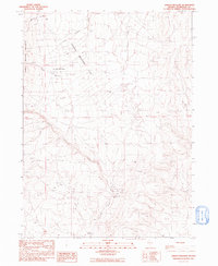
1991 Map of Jordan Meadow
USGS Topo · Published 1991About this map
Jordan Meadow sits in a high-elevation basin where the ranching life of Humboldt County is etched into the landscape of the early 1990s. The area is defined by the headwaters of Crowley Creek and Wildcat Creek, punctuated by a network of water management features essential for livestock, including Spring Reservoir and numerous stock ponds. The presence of Stone House and Willow Creek Ranch suggests the long-standing occupation of these remote draws by early settlers and ranchers.
Find a feature on this map
16 named features on this map. Tap any name to fly to it.
Don’t see what you’re looking for? This feature index may not catch every label — zoom into the map to look around manually.
Map Details
Editions of this 1991 Jordan Meadow Map
This is the sole edition of this map. No revisions or reprints were ever made.
Other maps of this area

1882 · Paradise
USGS Topo · 1:250,000

1886 · Disaster
USGS Topo · 1:250,000

1893 · Paradise
USGS Topo · 1:250,000

1893 · Disaster
USGS Topo · 1:250,000

1954 · Vya
USGS Topo · 1:250,000

1955 · McDermitt
USGS Topo · 1:250,000

1958 · Vya
USGS Topo · 1:250,000

1959 · McDermitt
USGS Topo · 1:250,000

1959 · Orovada
USGS Topo · 1:62,500

1959 · Jordan Meadow
USGS Topo · 1:62,500