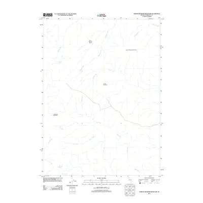
2011 Map of Jordan Meadow Mountain
USGS Topo · Published 2011About this map
Jordan Meadow Mountain anchors this high-elevation landscape in Humboldt County, where water sources dictate the geography of the Great Basin. The drainage patterns are defined by several seasonal systems, including Washburn Creek and Rock Creek, which descend through a series of named basins and mountains. High-desert water security is evidenced by the presence of Lone Willow Spring, Lyles Spring, and Big Bend Spring, essential points for ranching and wildlife in this arid environment. The southern portion of the sheet reaches into the Montana Mountains, while the central area is dominated by Round Mountain and the expansive Seven Springs Basin. This 2011 survey reflects the enduring character of a region where topographic features like Thacker Creek and Crowley Creek remain the primary identifiers for land use and navigation.
Find a feature on this map
15 named features on this map. Tap any name to fly to it.
Don’t see what you’re looking for? This feature index may not catch every label — zoom into the map to look around manually.
Map Details
Editions of this 2011 Jordan Meadow Mountain Map
This is the sole edition of this map. No revisions or reprints were ever made.
Other maps of this area

1882 · Paradise
USGS Topo · 1:250,000

1886 · Disaster
USGS Topo · 1:250,000

1893 · Paradise
USGS Topo · 1:250,000

1893 · Disaster
USGS Topo · 1:250,000

1954 · Vya
USGS Topo · 1:250,000

1955 · McDermitt
USGS Topo · 1:250,000

1958 · Vya
USGS Topo · 1:250,000

1959 · McDermitt
USGS Topo · 1:250,000

1959 · Orovada
USGS Topo · 1:62,500

1959 · Jordan Meadow
USGS Topo · 1:62,500