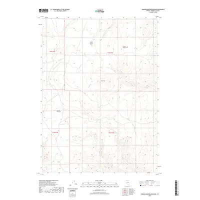
2018 Map of Jordan Meadow Mountain
USGS Topo · Published 2018About this map
Jordan Meadow Mtn and the southern reaches of the Montana Mountains define this high-altitude corner of Humboldt County. The landscape is a network of drainage basins and isolated water sources, essential for survival in this arid region. Significant hydrologic features include Seven Springs Basin and several named reliable points like Lone Willow Spring, Lyles Spring, and Big Bend Spring.
Find a feature on this map
18 named features on this map. Tap any name to fly to it.
Don’t see what you’re looking for? This feature index may not catch every label — zoom into the map to look around manually.
Map Details
Editions of this 2018 Jordan Meadow Mountain Map
This is the sole edition of this map. No revisions or reprints were ever made.
Other maps of this area

1882 · Paradise
USGS Topo · 1:250,000

1886 · Disaster
USGS Topo · 1:250,000

1893 · Paradise
USGS Topo · 1:250,000

1893 · Disaster
USGS Topo · 1:250,000

1954 · Vya
USGS Topo · 1:250,000

1955 · McDermitt
USGS Topo · 1:250,000

1958 · Vya
USGS Topo · 1:250,000

1959 · McDermitt
USGS Topo · 1:250,000

1959 · Orovada
USGS Topo · 1:62,500

1959 · Jordan Meadow
USGS Topo · 1:62,500