
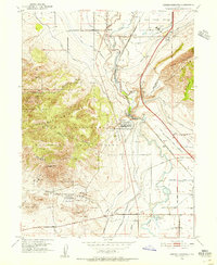
1951 Map of Jordan Narrows
USGS Topo · Published 1952About this map
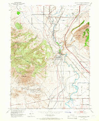
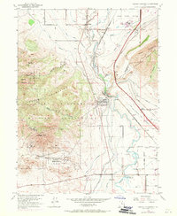
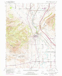
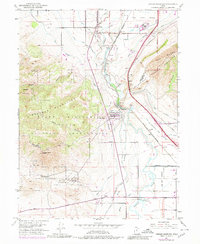
The Jordan Narrows forms a critical geographic bottleneck where the Jordan River carves through the Traverse Mountains, creating a natural corridor for early Utah infrastructure. This mid-century survey documents the intersection of vital transport and utility lines, including the Union Pacific and Denver and Rio Grande Western railroads. The landscape is defined by an intricate network of irrigation systems like the Utah Lake Distributing Canal and Provo Reservoir Canal, which supported local agriculture and settlements such as Bluffdale and Nash.
Find a feature on this map
35 named features on this map. Tap any name to fly to it.
Don’t see what you’re looking for? This feature index may not catch every label — zoom into the map to look around manually.
Map Details
Editions of this 1951 Jordan Narrows Map
6 editions found
Other maps of this area

1885 · Salt Lake
USGS Topo · 1:250,000

1885 · Tooele Valley
USGS Topo · 1:250,000

1915 · Fairfield
USGS Topo · 1:62,500

1917 · Fairfield
USGS Topo · 1:62,500

1925 · Ft. Douglas
USGS Topo · 1:125,000

1928 · Ft. Douglas
USGS Topo · 1:125,000

1950 · Pelican Point
USGS Topo · 1:24,000
1951 · Pelican Point
USGS Topo · 1:24,000
1951 · Saratoga Springs
USGS Topo · 1:24,000

1951 · Lehi
USGS Topo · 1:24,000