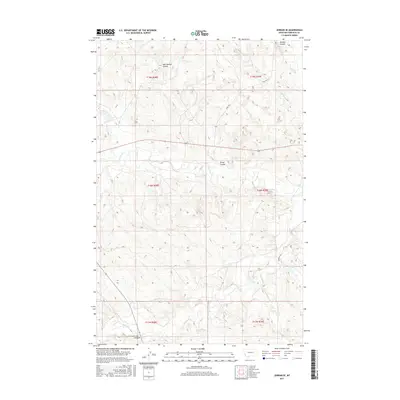
2017 Map of Jordan SE
USGS Topo · Published 2017About this map
Big Dry Cr meanders through the central landscape of Garfield County, defining a complex drainage system that includes Oliver Coulee and Van Coulten Coulee. This 2017 survey by the U.S. Geological Survey shows a sparsely populated region of eastern Montana where infrastructure is tied closely to the topography of these coulees and creeks. Transportation in the area relies on a network of routes such as State Hwy 341 and rural corridors like Harbaugh Rd and Havey Rd.
Find a feature on this map
19 named features on this map. Tap any name to fly to it.
Don’t see what you’re looking for? This feature index may not catch every label — zoom into the map to look around manually.
Map Details
Editions of this 2017 Jordan SE Map
This is the sole edition of this map. No revisions or reprints were ever made.
Other maps of this area

1954 · Jordan
USGS Topo · 1:250,000

1956 · Jordan
USGS Topo · 1:250,000

1958 · Jordan
USGS Topo · 1:250,000

1964 · Jordan
USGS Topo · 1:250,000

1964 · Jordan SE
USGS Topo · 1:24,000

1964 · Jordan NE
USGS Topo · 1:24,000

1964 · Bateman Coulee
USGS Topo · 1:24,000

1964 · Black John Coulee
USGS Topo · 1:24,000

1964 · Jordan NW
USGS Topo · 1:24,000

1964 · Jordan
USGS Topo · 1:24,000