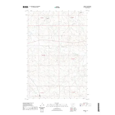
2020 Map of Jordan SE
USGS Topo · Published 2020About this map
Big Dry Creek meanders through this portion of Garfield County, defining a landscape of complex drainage systems and coulees. This 2020 survey illustrates the remote grazing lands and watercourses of eastern Montana, where the terrain is segmented by numerous intermittent streams and seasonal flows. Significant features include Russian Coulee in the north and the crossing at Sand Creek Bridge near the southern boundary. These drainage patterns, including Van Coulten Coulee and Oliver Coulee, provide a record of how water moves across this arid environment. Transportation is limited to a few arterial routes like State Hwy 341 and Hawby Rd, which navigate the high ground between the various forks of Sand Cr and Lone Tree Cr.
Find a feature on this map
19 named features on this map. Tap any name to fly to it.
Don’t see what you’re looking for? This feature index may not catch every label — zoom into the map to look around manually.
Map Details
Editions of this 2020 Jordan SE Map
This is the sole edition of this map. No revisions or reprints were ever made.
Other maps of this area

1954 · Jordan
USGS Topo · 1:250,000

1956 · Jordan
USGS Topo · 1:250,000

1958 · Jordan
USGS Topo · 1:250,000

1964 · Jordan
USGS Topo · 1:250,000

1964 · Jordan SE
USGS Topo · 1:24,000

1964 · Jordan NE
USGS Topo · 1:24,000

1964 · Bateman Coulee
USGS Topo · 1:24,000

1964 · Black John Coulee
USGS Topo · 1:24,000

1964 · Jordan NW
USGS Topo · 1:24,000

1964 · Jordan
USGS Topo · 1:24,000