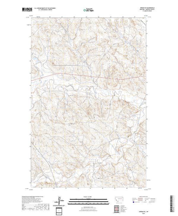
2024 Map of Jordan SE
USGS Topo · Published 2024About this map
The wide drainage of Big Dry Creek defines this reach of Garfield County, where the high plains are carved by numerous named coulees and intermittent streams. Moving through a landscape primarily utilized for ranching and grazing, the watercourses such as Van Coulten Coulee and Oliver Coulee drain toward the north and east, reflecting the complex topography of the Missouri River watershed. The area is intersected by Haxby Rd, a primary route providing access across the township lines of T18N and T19N. Along the southern edge, the map identifies Sand Creek, another significant drainage point in this relatively open, sparsely settled terrain. The placement of these features illustrates the essential relationship between water sources and land management in this part of Montana.
Find a feature on this map
13 named features on this map. Tap any name to fly to it.
Don’t see what you’re looking for? This feature index may not catch every label — zoom into the map to look around manually.
Map Details
Editions of this 2024 Jordan SE Map
This is the sole edition of this map. No revisions or reprints were ever made.
Other maps of this area

1954 · Jordan
USGS Topo · 1:250,000

1956 · Jordan
USGS Topo · 1:250,000

1958 · Jordan
USGS Topo · 1:250,000

1964 · Jordan
USGS Topo · 1:250,000

1964 · Jordan SE
USGS Topo · 1:24,000

1964 · Jordan NE
USGS Topo · 1:24,000

1964 · Bateman Coulee
USGS Topo · 1:24,000

1964 · Black John Coulee
USGS Topo · 1:24,000

1964 · Jordan NW
USGS Topo · 1:24,000

1964 · Jordan
USGS Topo · 1:24,000