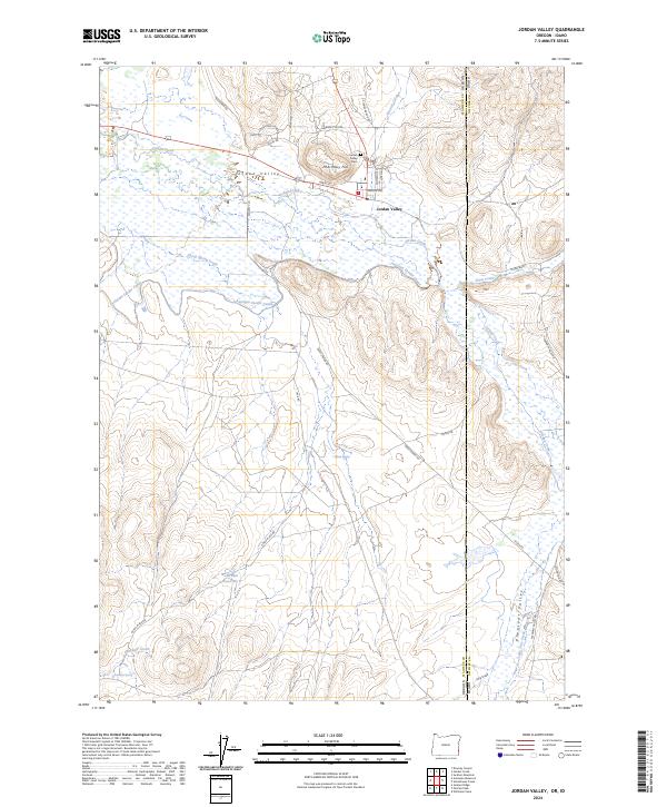
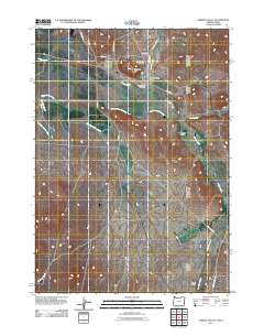
2024 Map of Jordan Valley
USGS Topo · Published 2024About this map
Jordan Valley serves as a remote high-desert hub in Malheur County, situated along the edge of the Oregon-Idaho state line. This modern landscape is defined by its ranching and irrigation history, centered around Jordan Creek and a complex water management system including the Antelope Feeder Canal and Wroten Reservoir. The town itself is compactly arranged near Pharmacy Hill, with local landmarks like the Jordan Valley Cem and the Po marking its social and historical core. Outside the small settlement, the terrain transitions into the wide expanses of Pleasant Valley, where seasonal drainages such as Lone Tree Creek and Sheep Spring Creek carve through the basin. Roads like Yturri Blvd and McKay Rd reflect the enduring ranching presence and the network of family names that have shaped this high-plateau borderland.
Find a feature on this map
44 named features on this map. Tap any name to fly to it.
Don’t see what you’re looking for? This feature index may not catch every label — zoom into the map to look around manually.
Map Details
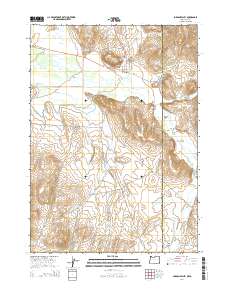
Editions of this 2024 Jordan Valley Map
This is the sole edition of this map. No revisions or reprints were ever made.
Historical Maps of Jordan Valley Through Time
10 maps found
1955 Jordan Valley
Malheur County, OR

1957 Jordan Valley
Malheur County, OR

1958 Jordan Valley
Malheur County, OR
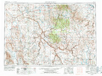
1969 Jordan Valley
Malheur County, OR
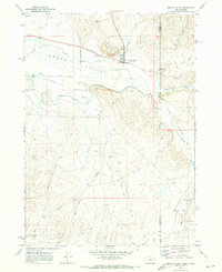
1994 Jordan Valley
Malheur County, OR
2011 Jordan Valley
Malheur County, OR
2014 Jordan Valley
Malheur County, OR
2017 Jordan Valley
Malheur County, OR
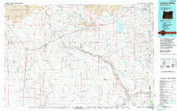
2020 Jordan Valley
Malheur County, OR
2024 Jordan Valley
Malheur County, OR