
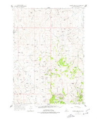
1965 Map of Rooster Comb Peak
USGS Topo · Published 1967About this map
De Lamar serves as the focal point for this 1960s survey of the Owyhee mining district, where the complex geography of silver and gold claims is meticulously recorded. The landscape is defined by the legacy of extraction, with numerous named workings such as the Democrat Mine, Ida Belle Mine, and Starlight Mine dotting the drainages of Jordan Creek. Settlement patterns from earlier booms are preserved as archaeological locations, including Wagontown (Site) and Dewey (Site), providing a window into the transitory nature of high-desert mining towns.
Find a feature on this map
125 named features on this map. Tap any name to fly to it.
Don’t see what you’re looking for? This feature index may not catch every label — zoom into the map to look around manually.
Map Details
Editions of this 1965 Rooster Comb Peak Map
2 editions found
Other maps of this area

1892 · Silver City
USGS Topo · 1:125,000

1894 · Silver City
USGS Topo · 1:125,000

1898 · Silver City
USGS Topo · 1:125,000

1955 · Jordan Valley
USGS Topo · 1:250,000

1955 · Boise
USGS Topo · 1:250,000

1957 · Jordan Valley
USGS Topo · 1:250,000

1957 · Wilson Peak
USGS Topo · 1:24,000

1957 · Sands Basin
USGS Topo · 1:62,500

1958 · Boise
USGS Topo · 1:250,000

1958 · Jordan Valley
USGS Topo · 1:250,000