
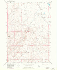
1957 Map of Wilson Peak
USGS Topo · Published 1958About this map
Wilson Creek and Reynolds Creek carve through this high-elevation Idaho landscape, defining a region where water management was essential for mid-century settlement. At the heart of the community, the Wilson Community Hall and the nearby Wilson Cemetery serve as the primary social and historical anchors. The map reveals an intricate system of water engineering required to sustain life and agriculture in this arid environment, featuring the Beck Ditch, Bernard Ditch, and localized infrastructure like a Flume, Siphon, and Tunnel.
Find a feature on this map
21 named features on this map. Tap any name to fly to it.
Don’t see what you’re looking for? This feature index may not catch every label — zoom into the map to look around manually.
Map Details
Editions of this 1957 Wilson Peak Map
2 editions found
Other maps of this area

1892 · Silver City
USGS Topo · 1:125,000

1894 · Silver City
USGS Topo · 1:125,000

1898 · Silver City
USGS Topo · 1:125,000

1955 · Boise
USGS Topo · 1:250,000
1957 · Walters Butte
USGS Topo · 1:24,000

1957 · Opalene Gulch
USGS Topo · 1:24,000

1957 · Sands Basin
USGS Topo · 1:62,500

1958 · Boise
USGS Topo · 1:250,000
1958 · Givens Hot Springs
USGS Topo · 1:24,000
1958 · Melba
USGS Topo · 1:24,000