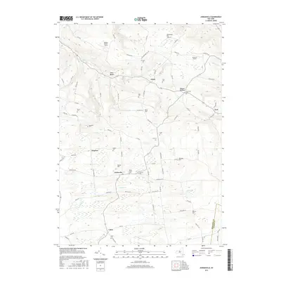
2016 Map of Jordanville
USGS Topo · Published 2016About this map
Jordanville and the surrounding rural uplands of Herkimer County define this landscape, where the headwaters of several drainages carve through the terrain. The community of Jordanville sits central to a network of family-named landmarks and historical sites, including the Highland Cem and Paines Hollow Cem. To the south, the settlement of Cullen is situated near the Herkimer Co Otsego Co line, while the northern reaches are marked by the small hamlets of Edicks and Paines Hollow. This map captures a transition in local transportation and land use, from the traditional cemetery-dotted rural crossroads like Kingdom to modern aviation facilities such as the Mohawk Aviation Center and Sky-Ranch Airport. Waterways like Ocquionis Cr and Fulmer Cr flow away from these heights, tracing the paths that influenced early regional development.
Find a feature on this map
87 named features on this map. Tap any name to fly to it.
Don’t see what you’re looking for? This feature index may not catch every label — zoom into the map to look around manually.
Map Details
Editions of this 2016 Jordanville Map
This is the sole edition of this map. No revisions or reprints were ever made.
Other maps of this area

1898 · Utica
USGS Topo · 1:62,500

1900 · Little Falls
USGS Topo · 1:62,500

1900 · Utica
USGS Topo · 1:62,500

1903 · Richfield Springs
USGS Topo · 1:62,500

1903 · Little Falls
USGS Topo · 1:62,500

1907 · Winfield
USGS Topo · 1:62,500

1939 · Little Falls
USGS Topo · 1:62,500

1943 · Schuyler Lake
USGS Topo · 1:24,000

1943 · Jordanville
USGS Topo · 1:24,000

1943 · Richfield Springs
USGS Topo · 1:24,000