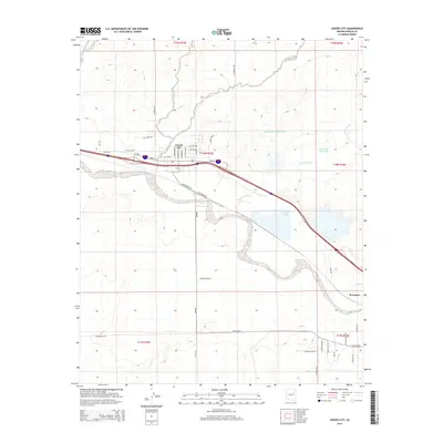
2014 Map of Joseph City
USGS Topo · Published 2014About this map
Joseph City and the surrounding high desert terrain are defined by the winding course of the Little Colorado River, which cuts through the southern portion of this survey. The landscape reflects a legacy of water management and industrial utility, evidenced by the large Cholla Lake and the nearby Cholla Bottom Ash Pond and Cholla Fly Ash Pond. These features highlight the intersection of natural drainage systems like Joseph City Wash and Tanner Wash with modern power infrastructure.
Find a feature on this map
46 named features on this map. Tap any name to fly to it.
Don’t see what you’re looking for? This feature index may not catch every label — zoom into the map to look around manually.
Map Details
Editions of this 2014 Joseph City Map
This is the sole edition of this map. No revisions or reprints were ever made.
Other maps of this area
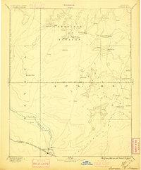
1883 · Tusayan
USGS Topo · 1:250,000
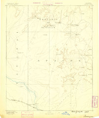
1886 · Tusayan
USGS Topo · 1:250,000
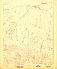
1886 · Holbrook
USGS Topo · 1:250,000
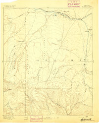
1893 · Holbrook
USGS Topo · 1:250,000
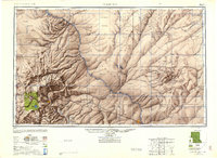
1947 · Flagstaff
USGS Topo · 1:250,000
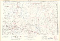
1954 · Flagstaff
USGS Topo · 1:250,000
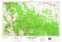
1954 · Holbrook
USGS Topo · 1:250,000
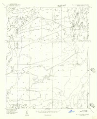
1955 · Mal Pais Springs 3 SW
USGS Topo · 1:24,000
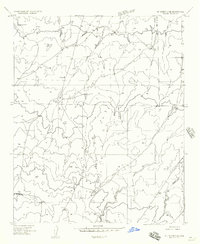
1955 · St. Joseph 2 SE
USGS Topo · 1:24,000
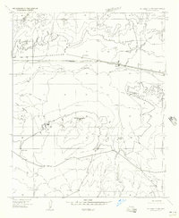
1955 · St. Joseph 2 NW
USGS Topo · 1:24,000