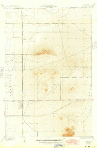
1934 Map of Joshua
USGS Topo · Published 1949About this map
Rogers Dry Lake spans the northern edge of this high desert survey, providing a distinct geographic anchor for a landscape defined by the vast Antelope Valley and the rising formations of the Buttes. Conducted in 1930 and updated for culture in 1948 by Los Angeles County surveyor T.H. Moncure, the map reveals a sparsely settled ranching and agricultural region on the cusp of mid-century change. The Baxter Ranch stands as a primary landmark in a grid of proposed and existing desert roads, including Avenue B and 140 Th St. Numerous wells scattered across the basin highlight the critical role of groundwater in sustaining life and industry here, while the precisely surveyed county line between Kern Co and Los Angeles Co marks the intersection of high desert jurisdictions.
Find a feature on this map
15 named features on this map. Tap any name to fly to it.
Don’t see what you’re looking for? This feature index may not catch every label — zoom into the map to look around manually.
Map Details
Editions of this 1934 Joshua Map
3 editions found
Other maps of this area

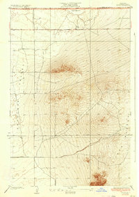
1930 · Joshua
USGS Topo · 1:24,000

1930 · Lovejoy Springs
USGS Topo · 1:24,000

1930 · Casa Desierta
USGS Topo · 1:24,000

1930 · West Alpine Butte
USGS Topo · 1:24,000

1930 · Wilsona
USGS Topo · 1:24,000

1931 · Hi Vista
USGS Topo · 1:24,000

1933 · Casa Desierta
USGS Topo · 1:24,000

1933 · Lovejoy Springs
USGS Topo · 1:24,000
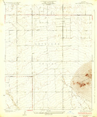
1933 · West Alpine Butte
USGS Topo · 1:24,000

1934 · Joshua
USGS Topo · 1:24,000