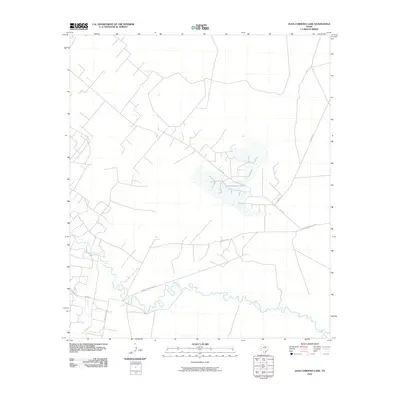
2010 Map of Juan Cordona Lake
USGS Topo · Published 2010About this map
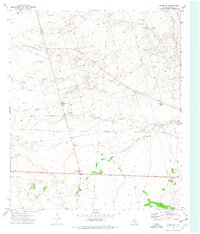
The Pecos River meanders through the southern portion of this West Texas landscape, defining the hydrology of an arid region marked by industrial activity and irrigation efforts. The basin's characteristic topography is shaped by the presence of Juan Cordona Lake, a significant water feature in a landscape dominated by resource extraction and sparse transport networks. The 2010 survey illustrates the developed infrastructure surrounding the lake, including Lake Rd and S Exxon Rd, reflecting the area's ties to the energy sector. Further west, the Highline Canal and Sand Rd signal the historical and ongoing management of water resources in the Pecos County desert. This map records the intersection of natural waterways and the rigid grid of oil field access roads that have come to define this part of the Permian Basin.
Find a feature on this map
9 named features on this map. Tap any name to fly to it.
Don’t see what you’re looking for? This feature index may not catch every label — zoom into the map to look around manually.
Map Details
Editions of this 2010 Juan Cordona Lake Map
This is the sole edition of this map. No revisions or reprints were ever made.
Other maps of this area

1928 · Crane
USGS Topo · 1:125,000

1954 · Pecos
USGS Topo · 1:250,000

1957 · Pecos
USGS Topo · 1:250,000
1972 · Buena Vista NE
USGS Topo · 1:24,000
1972 · Buena Vista
USGS Topo · 1:24,000
1972 · Girvin NW
USGS Topo · 1:24,000

1974 · Tubbs Corner
USGS Topo · 1:24,000

1974 · Crane SW
USGS Topo · 1:24,000

1974 · Juan Cordona Lake
USGS Topo · 1:24,000
1974 · Crane NW
USGS Topo · 1:24,000