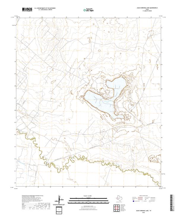
2022 Map of Juan Cordona Lake
USGS Topo · Published 2022About this map
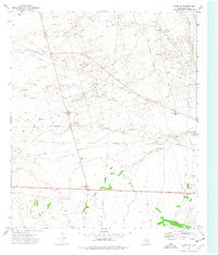
The Juan Cordona Lake basin dominates this portion of the Permian Basin, marking a landscape where water and industry intersect. Located along the boundary of Crane and Pecos counties, the area is defined by the winding course of the Pecos River and the artificial waterways of the Highline Canal. The road network reflects the local oil and ranching economy, with routes like S Exxon Rd and Tiny Earp Rd cutting across the desert scrub. Other thoroughfares such as Old Crane Rd and Juan Cordona Lake Rd provide access to the lakebed and the surrounding plains. This survey captures the modern hydraulic and transportation infrastructure of a traditionally arid West Texas region.
Find a feature on this map
13 named features on this map. Tap any name to fly to it.
Don’t see what you’re looking for? This feature index may not catch every label — zoom into the map to look around manually.
Map Details
Editions of this 2022 Juan Cordona Lake Map
This is the sole edition of this map. No revisions or reprints were ever made.
Other maps of this area

1928 · Crane
USGS Topo · 1:125,000

1954 · Pecos
USGS Topo · 1:250,000

1957 · Pecos
USGS Topo · 1:250,000
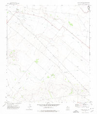
1972 · Buena Vista NE
USGS Topo · 1:24,000
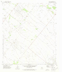
1972 · Buena Vista
USGS Topo · 1:24,000
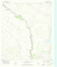
1972 · Girvin NW
USGS Topo · 1:24,000

1974 · Tubbs Corner
USGS Topo · 1:24,000

1974 · Crane SW
USGS Topo · 1:24,000

1974 · Juan Cordona Lake
USGS Topo · 1:24,000
1974 · Crane NW
USGS Topo · 1:24,000