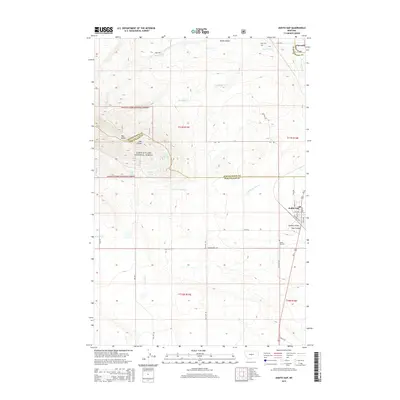
2014 Map of Judith Gap
USGS Topo · Published 2014About this map
Judith Gap sits at the eastern edge of this landscape, marking a vital passage between the Snowy and Little Belt Mountains. The town's grid is clearly defined, with streets like Main St and High St bordering the corridor along Railroad Ave. To the northwest, the small settlement of Garneill appears near the confluence of Ross Fork Cr and Red Bluff Cr, while the high country to the west is dominated by the Lewis & Clark National Forest.
Find a feature on this map
40 named features on this map. Tap any name to fly to it.
Don’t see what you’re looking for? This feature index may not catch every label — zoom into the map to look around manually.
Map Details
Editions of this 2014 Judith Gap Map
This is the sole edition of this map. No revisions or reprints were ever made.
Other maps of this area

1889 · Big Snowy Mountain
USGS Topo · 1:250,000

1893 · Big Snowy Mountain
USGS Topo · 1:250,000

1954 · Roundup
USGS Topo · 1:250,000

1958 · Roundup
USGS Topo · 1:250,000
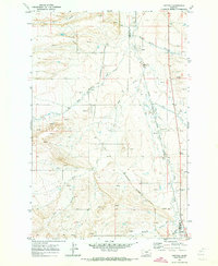
1970 · Buffalo
USGS Topo · 1:24,000
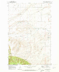
1970 · Martin Coulee
USGS Topo · 1:24,000
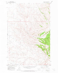
1970 · Moore SW
USGS Topo · 1:24,000
1986 · Oka
USGS Topo · 1:24,000
1986 · Mead Creek
USGS Topo · 1:24,000
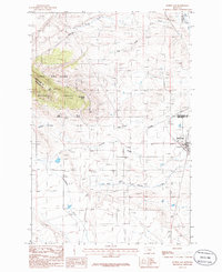
1986 · Judith Gap
USGS Topo · 1:24,000