2024 Map of Judith Gap
USGS Topo · Published 2024About this map
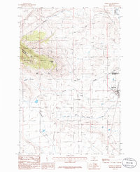
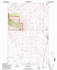
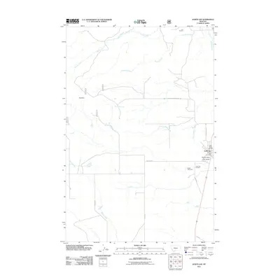
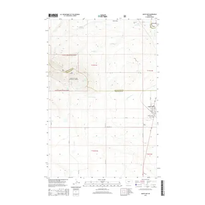
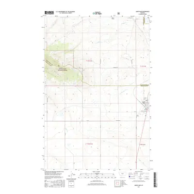
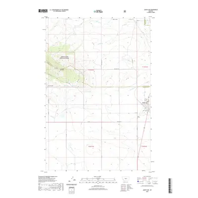
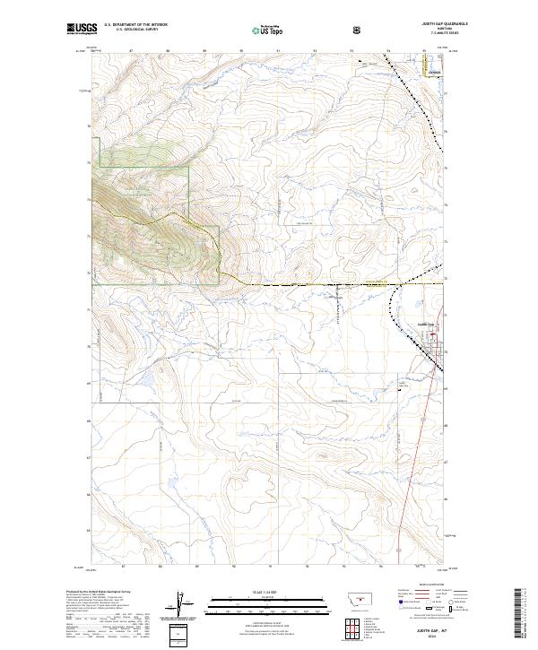
Judith Gap occupies a strategic mountain pass between the Snowy and Little Belt Mountains, a location that long defined the area's role as a transportation corridor. This 2024 survey details the intersection of regional history and high-altitude geography, where the town site is organized along streets like Main St and Railroad Ave. To the north, the smaller settlement of Garneill sits near the Ubet - Garneill Cem, preserving the name of a stage station that predated the arrival of the railroad.
Find a feature on this map
37 named features on this map. Tap any name to fly to it.
Don’t see what you’re looking for? This feature index may not catch every label — zoom into the map to look around manually.
Map Details
Editions of this 2024 Judith Gap Map
This is the sole edition of this map. No revisions or reprints were ever made.
Historical Maps of Judith Gap Through Time
7 maps found