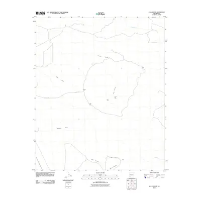
2010 Map of Jug Canyon
USGS Topo · Published 2010About this map
Duncan Ranch sits at the center of this 2010 topographic study, situated along County Rd-B011 in a region defined by an extensive network of drainage basins and canyons. The landscape is marked by the presence of industrial or resource activity at Nunn Lease and Nunn S State Lease, indicating the land's utility beyond traditional ranching. Water management is a primary feature of this arid terrain, with scattered points of interest such as Outlaw Well, North Well, and Indian Well providing vital resources.
Find a feature on this map
15 named features on this map. Tap any name to fly to it.
Don’t see what you’re looking for? This feature index may not catch every label — zoom into the map to look around manually.
Map Details
Editions of this 2010 Jug Canyon Map
This is the sole edition of this map. No revisions or reprints were ever made.
Other maps of this area

1935 · Hillsboro
USGS Topo · 1:48,000

1940 · Hillsboro
USGS Topo · 1:62,500

1955 · Las Cruces
USGS Topo · 1:250,000

1958 · Las Cruces
USGS Topo · 1:250,000

1958 · Arroyo Cuervo
USGS Topo · 1:24,000

1961 · Nutt
USGS Topo · 1:62,500

1961 · Clark Spring Canyon
USGS Topo · 1:24,000

1961 · Garfield
USGS Topo · 1:24,000

1962 · Lake Valley
USGS Topo · 1:62,500

1982 · Hatch
USGS Topo · 1:100,000