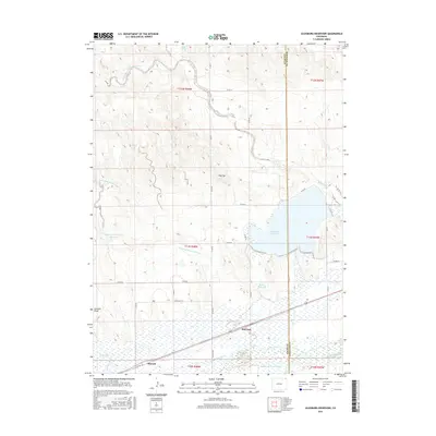
2016 Map of Julesburg Reservoir
USGS Topo · Published 2016About this map
Julesburg Reservoir and the adjacent Jumbo Reservoir dominate this section of the northeastern Colorado plains, where Logan and Sedgwick counties meet. The landscape is defined by a sophisticated network of irrigation systems designed to harness the waters of the South Platte River, which flows through the southern portion of the map. Tracing these water rights reveals the agricultural foundations of the region, specifically through infrastructure like Harmony Ditch Number 1, Settlers Ditch, and the Sprague Brothers Ditch.
Find a feature on this map
44 named features on this map. Tap any name to fly to it.
Don’t see what you’re looking for? This feature index may not catch every label — zoom into the map to look around manually.
Map Details
Editions of this 2016 Julesburg Reservoir Map
This is the sole edition of this map. No revisions or reprints were ever made.
Other maps of this area

1899 · Sidney
USGS Topo · 1:125,000

1952 · Marks Butte
USGS Topo · 1:24,000

1953 · Tamarack Ranch
USGS Topo · 1:24,000

1953 · Crook
USGS Topo · 1:24,000

1953 · Twin Buttes
USGS Topo · 1:24,000

1953 · Julesburg Reservoir
USGS Topo · 1:24,000

1953 · Sedgwick
USGS Topo · 1:24,000

1954 · Sterling
USGS Topo · 1:250,000

1954 · Scottsbluff
USGS Topo · 1:250,000

1958 · Scottsbluff
USGS Topo · 1:250,000