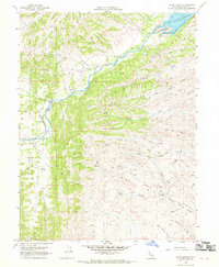
1968 Map of Julian Rocks
USGS Topo · Published 1969About this map
Stony Creek cuts through this Glenn County landscape, punctuated by the notable landmark of Julian Rocks. The terrain is defined by a series of drainages, including Hambright Creek and the South Fork Walker Creek, which feed into the northern reaches of the Black Butte Reservoir. Local settlement and agricultural history is marked by the Stone Valley Ranch and the Wilson Place, while more functional features like a Cableway and several water tanks indicate the infrastructure of the late 1960s.
Find a feature on this map
24 named features on this map. Tap any name to fly to it.
Don’t see what you’re looking for? This feature index may not catch every label — zoom into the map to look around manually.
Map Details
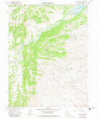
Editions of this 1968 Julian Rocks Map
2 editions found
Other maps of this area

1904 · Walker Creek
USGS Topo · 1:31,680

1917 · Kurand
USGS Topo · 1:31,680

1919 · Fruto
USGS Topo · 1:62,500

1919 · Elk Creek
USGS Topo · 1:62,500

1944 · Fruto
USGS Topo · 1:62,500

1944 · Flournoy
USGS Topo · 1:62,500

1948 · Elk Creek
USGS Topo · 1:62,500
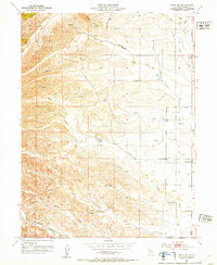
1952 · Fruto NE
USGS Topo · 1:24,000
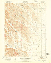
1952 · Kurand
USGS Topo · 1:24,000

1952 · Paskenta
USGS Topo · 1:62,500