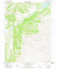
1968 Map of Julian Rocks
USGS Topo · Published 1983About this map
Julian Rocks rises as a prominent landmark in this Glenn County landscape, where the foothills meet the upper reaches of water management infrastructure. The northeastern corner is dominated by the Black Butte Lake Spillway, an area surveyed with underwater contours to capture the topography of the reservoir's edge. This 1960s environment is defined by a sparse network of ranching outposts and remote homesteads, including the Stone Valley Ranch, Wilson Place, and Lyons. A web of Jeep Trails provides the only overland access through the complex drainage systems of Stony Creek and its many tributaries, such as South Fork Walker Creek and French Creek. The map documents a rugged interior of unnamed ridges divided by seasonal watercourses like Sheep Corral Creek and White Cabin Creek, reflecting the isolation and traditional land use of the northern Sacramento Valley foothills before later modernization.
Find a feature on this map
17 named features on this map. Tap any name to fly to it.
Don’t see what you’re looking for? This feature index may not catch every label — zoom into the map to look around manually.
Map Details
Editions of this 1968 Julian Rocks Map
2 editions found
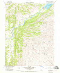
Other maps of this area

1904 · Walker Creek
USGS Topo · 1:31,680

1917 · Kurand
USGS Topo · 1:31,680

1919 · Fruto
USGS Topo · 1:62,500

1919 · Elk Creek
USGS Topo · 1:62,500

1944 · Fruto
USGS Topo · 1:62,500

1944 · Flournoy
USGS Topo · 1:62,500

1948 · Elk Creek
USGS Topo · 1:62,500
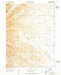
1952 · Fruto NE
USGS Topo · 1:24,000
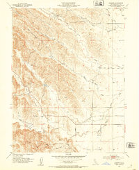
1952 · Kurand
USGS Topo · 1:24,000

1952 · Paskenta
USGS Topo · 1:62,500