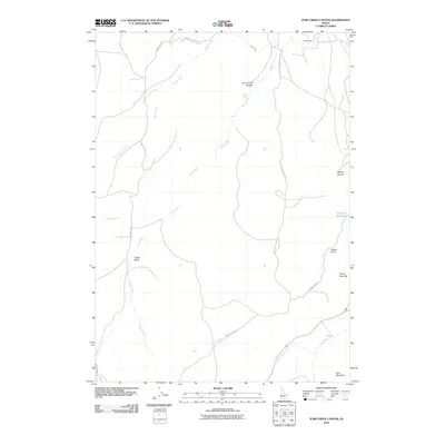
2010 Map of Jump Creek Canyon
USGS Topo · Published 2010About this map
Jump Creek Canyon and the surrounding Owyhee County high desert appear here in detail, defined by a complex network of seasonal drainage and rugged volcanic terrain. The northern portion of the map shows the transition from the arid uplands to irrigated land via the South Canal, while the interior is dominated by natural landmarks like Sands Basin and Jump Creek Falls. These features, along with names like French John Hill and Windy Point, reflect the area's history of ranching and early survey efforts.
Find a feature on this map
19 named features on this map. Tap any name to fly to it.
Don’t see what you’re looking for? This feature index may not catch every label — zoom into the map to look around manually.
Map Details
Editions of this 2010 Jump Creek Canyon Map
This is the sole edition of this map. No revisions or reprints were ever made.
Other maps of this area

1892 · Silver City
USGS Topo · 1:125,000

1894 · Silver City
USGS Topo · 1:125,000

1898 · Nampa
USGS Topo · 1:125,000

1898 · Silver City
USGS Topo · 1:125,000

1906 · Mitchell Butte
USGS Topo · 1:125,000

1955 · Boise
USGS Topo · 1:250,000

1957 · Opalene Gulch
USGS Topo · 1:24,000

1957 · Sands Basin
USGS Topo · 1:62,500

1958 · Boise
USGS Topo · 1:250,000

1958 · Homedale
USGS Topo · 1:24,000