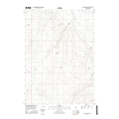
2017 Map of Jump Creek Canyon
USGS Topo · Published 2017About this map
The Owyhee Mountains define the high-desert landscape of this corner of Idaho, where deep drainages and volcanic features create a complex topographic profile. A central focus of the area is Jump Creek Canyon, which contains the notable Jump Creek Falls and is accessed by Jump Creek Rd. To the west, the terrain opens into Sands Basin, while the eastern portion of the sheet is marked by prominent elevations such as French John Hill and Buck Mtn. Water management in this arid environment is evident through features like the Big Pass Reservoir and the S Canal in the north. The map also documents local landmarks such as Windy Point and the steep walls of Wildcat Canyon, providing a detailed look at the ranching and recreational landscape of Owyhee County as it appeared in 2017.
Find a feature on this map
25 named features on this map. Tap any name to fly to it.
Don’t see what you’re looking for? This feature index may not catch every label — zoom into the map to look around manually.
Map Details
Editions of this 2017 Jump Creek Canyon Map
This is the sole edition of this map. No revisions or reprints were ever made.
Other maps of this area

1892 · Silver City
USGS Topo · 1:125,000

1894 · Silver City
USGS Topo · 1:125,000

1898 · Nampa
USGS Topo · 1:125,000

1898 · Silver City
USGS Topo · 1:125,000

1906 · Mitchell Butte
USGS Topo · 1:125,000

1955 · Boise
USGS Topo · 1:250,000

1957 · Opalene Gulch
USGS Topo · 1:24,000

1957 · Sands Basin
USGS Topo · 1:62,500

1958 · Boise
USGS Topo · 1:250,000

1958 · Homedale
USGS Topo · 1:24,000