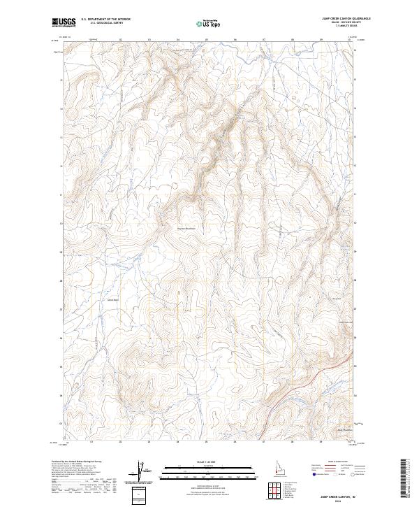
2024 Map of Jump Creek Canyon
USGS Topo · Published 2024About this map
Owyhee Mountains terrain dominates this 2024 survey, where dramatic elevation changes define the landscape south of the Snake River valley. The hydrology of the region is centered on Jump Creek, which carves through Jump Creek Canyon and features the notable Jump Creek Falls. This modern topographic study illustrates the transition from high desert plateaus to steep drainages, including Wildcat Canyon and the prominent French John Hill.
Find a feature on this map
24 named features on this map. Tap any name to fly to it.
Don’t see what you’re looking for? This feature index may not catch every label — zoom into the map to look around manually.
Map Details
Editions of this 2024 Jump Creek Canyon Map
This is the sole edition of this map. No revisions or reprints were ever made.
Other maps of this area

1892 · Silver City
USGS Topo · 1:125,000

1894 · Silver City
USGS Topo · 1:125,000

1898 · Nampa
USGS Topo · 1:125,000

1898 · Silver City
USGS Topo · 1:125,000

1906 · Mitchell Butte
USGS Topo · 1:125,000

1955 · Boise
USGS Topo · 1:250,000

1957 · Opalene Gulch
USGS Topo · 1:24,000

1957 · Sands Basin
USGS Topo · 1:62,500

1958 · Boise
USGS Topo · 1:250,000

1958 · Homedale
USGS Topo · 1:24,000