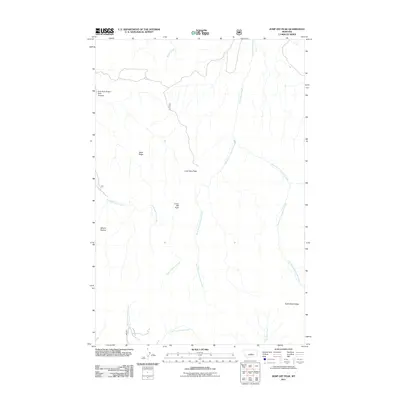
2011 Map of Jump Off Peak
USGS Topo · Published 2011About this map
Jump Off Peak and the high ridgelines of Fergus County dominate this drainage-head topography at the start of the twenty-first century. The landscape is defined by the radial dispersal of mountain streams, including the upper reaches of Careless Creek and Beaver Creek. To the east, the sharp elevation of Knife Blade Ridge stands in contrast to the broader shoulders of Black Ridge and Lime Cave Peak.
Find a feature on this map
15 named features on this map. Tap any name to fly to it.
Don’t see what you’re looking for? This feature index may not catch every label — zoom into the map to look around manually.
Map Details
Editions of this 2011 Jump Off Peak Map
This is the sole edition of this map. No revisions or reprints were ever made.
Other maps of this area

1889 · Big Snowy Mountain
USGS Topo · 1:250,000

1893 · Big Snowy Mountain
USGS Topo · 1:250,000

1954 · Roundup
USGS Topo · 1:250,000

1958 · Roundup
USGS Topo · 1:250,000

1970 · Crystal Lake
USGS Topo · 1:24,000
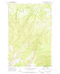
1970 · Half Moon Canyon
USGS Topo · 1:24,000
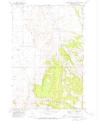
1970 · West Fork Beaver Creek
USGS Topo · 1:24,000
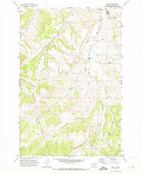
1970 · Heath
USGS Topo · 1:24,000
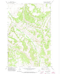
1970 · Castle Butte
USGS Topo · 1:24,000
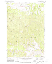
1970 · Jump Off Peak
USGS Topo · 1:24,000