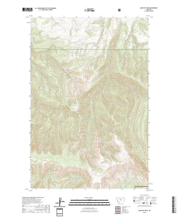
2024 Map of Jump Off Peak
USGS Topo · Published 2024About this map
The Big Snowy Mountains dominate this high-altitude landscape within the Lewis & Clark National Forest, where steep drainages and prominent ridges create a complex vertical environment. Significant landmarks such as Jump Off Peak, Lime Cave Peak, and Mt Harlow provide distinctive vertical relief, while Black Ridge and Knife Blade Ridge define the divides between various watersheds. The area is a network of remote pathways including the Jump Off Peak Trl, Uhlhorn Trl, and Crystal Cascades Trl, which offer access to the more secluded corners of the forest.
Find a feature on this map
40 named features on this map. Tap any name to fly to it.
Don’t see what you’re looking for? This feature index may not catch every label — zoom into the map to look around manually.
Map Details
Editions of this 2024 Jump Off Peak Map
This is the sole edition of this map. No revisions or reprints were ever made.
Other maps of this area

1889 · Big Snowy Mountain
USGS Topo · 1:250,000

1893 · Big Snowy Mountain
USGS Topo · 1:250,000

1954 · Roundup
USGS Topo · 1:250,000

1958 · Roundup
USGS Topo · 1:250,000

1970 · Crystal Lake
USGS Topo · 1:24,000
1970 · Half Moon Canyon
USGS Topo · 1:24,000
1970 · West Fork Beaver Creek
USGS Topo · 1:24,000
1970 · Heath
USGS Topo · 1:24,000
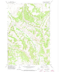
1970 · Castle Butte
USGS Topo · 1:24,000
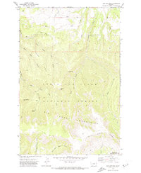
1970 · Jump Off Peak
USGS Topo · 1:24,000