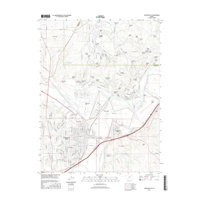
2016 Map of Junction City
USGS Topo · Published 2016About this map
The confluence of the Republican River and the Smoky Hill River forms the Kansas River here, a geographic focal point that shaped the development of Junction City. This 2016 survey details the modern layout of the city alongside the expansive military installations of Fort Riley. The presence of Marshall Army Airfield and numerous named terrain features like Custer Hill and Artillery Hill underscore the long-standing strategic importance of the landscape.
Find a feature on this map
162 named features on this map. Tap any name to fly to it.
Don’t see what you’re looking for? This feature index may not catch every label — zoom into the map to look around manually.
Map Details
Editions of this 2016 Junction City Map
This is the sole edition of this map. No revisions or reprints were ever made.
Other maps of this area

1886 · Junction City
USGS Topo · 1:125,000

1889 · Junction City
USGS Topo · 1:125,000

1889 · Parkerville
USGS Topo · 1:125,000

1894 · Junction City
USGS Topo · 1:125,000

1894 · Parkerville
USGS Topo · 1:125,000

1947 · Manhattan
USGS Topo · 1:62,500

1947 · Fort Riley
USGS Topo · 1:62,500

1950 · Keats
USGS Topo · 1:24,000

1950 · Junction City
USGS Topo · 1:24,000

1950 · Alida
USGS Topo · 1:24,000