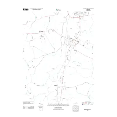
2013 Map of Junction City
USGS Topo · Published 2013About this map
Junction City and Shelby City serve as the central hubs for this region of central Kentucky, where the landscape is defined by a series of prominent peaks and intricate waterway networks. To the south, Sand Knob Lookout Tower stands near Sand Knob, watching over the headwaters of Baughman Cr and Shelby Br. The area's heritage is anchored by the Isaac Shelby State Shrine, located just south of the main settlements along Knoblick Cr.
Find a feature on this map
141 named features on this map. Tap any name to fly to it.
Don’t see what you’re looking for? This feature index may not catch every label — zoom into the map to look around manually.
Map Details
Editions of this 2013 Junction City Map
This is the sole edition of this map. No revisions or reprints were ever made.
Other maps of this area

1905 · Harrodsburg
USGS Topo · 1:125,000

1950 · Bryantsville
USGS Topo · 1:24,000

1952 · Perryville
USGS Topo · 1:24,000

1952 · Ellisburg
USGS Topo · 1:24,000

1952 · Halls Gap
USGS Topo · 1:24,000

1952 · Hustonville
USGS Topo · 1:24,000

1952 · Danville
USGS Topo · 1:24,000

1952 · Bryantsville
USGS Topo · 1:24,000

1952 · Stanford
USGS Topo · 1:24,000

1952 · Junction City
USGS Topo · 1:24,000