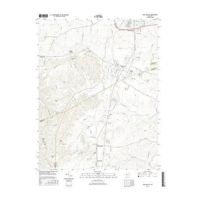
2016 Map of Junction City
USGS Topo · Published 2016About this map
Junction City and the southern outskirts of Danville define the landscape where Boyle, Lincoln, and Casey counties meet. This 2016 survey shows a region of distinct settlement patterns, where rail-line origins gave way to road-based growth. Historically significant clusters like Shelby City, Alum Springs, and Wilsonville are located among a series of topographic high points, including Pine Knob, Persimmon Knob, and Catholic Knob. Genealogists and local historians will find several well-documented burial sites such as Gray Cem, Benedict Cem, and Pruitt Cem scattered near the headwaters of Salt River, Clarks Run, and White Oak Creek. The southern portion of the map transitions into more isolated terrain near Durham Hollow and Big Hollow, while infrastructure is represented by the presence of Stuart Powell Field and the central corridor of settlements running toward Moreland.
Find a feature on this map
60 named features on this map. Tap any name to fly to it.
Don’t see what you’re looking for? This feature index may not catch every label — zoom into the map to look around manually.
Map Details
Editions of this 2016 Junction City Map
This is the sole edition of this map. No revisions or reprints were ever made.
Other maps of this area

1905 · Harrodsburg
USGS Topo · 1:125,000

1950 · Bryantsville
USGS Topo · 1:24,000

1952 · Perryville
USGS Topo · 1:24,000

1952 · Ellisburg
USGS Topo · 1:24,000

1952 · Halls Gap
USGS Topo · 1:24,000

1952 · Hustonville
USGS Topo · 1:24,000

1952 · Danville
USGS Topo · 1:24,000

1952 · Bryantsville
USGS Topo · 1:24,000

1952 · Stanford
USGS Topo · 1:24,000

1952 · Junction City
USGS Topo · 1:24,000