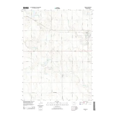
2014 Map of Juniata
USGS Topo · Published 2014About this map
Juniata and the smaller settlement of Assumption anchor this portion of Adams County, where agricultural grid roads define the landscape. This 2014 survey illustrates a complex water management system through the central corridor, including Thirty-Two Mile Cr Reservoir, Thirty-Two Mile Reservoir D, and the Vieselmeyer Reservoir. These artificial catchments along the W Br Thirtytwo Mile Cr and Thirtytwo Mile Cr reflect the region's reliance on irrigation and local water storage. Genealogists will find the Juniata Cem located west of the town center, while topographical details show the subtle drainage patterns of Pawnee Cr and Scotts Cr as they move across the prairie. The transit network is dominated by the east-west corridor of Us-34, which intersects a naming system of local thoroughfares like Kenesaw Blvd and W Assumption Rd.
Find a feature on this map
38 named features on this map. Tap any name to fly to it.
Don’t see what you’re looking for? This feature index may not catch every label — zoom into the map to look around manually.
Map Details
Editions of this 2014 Juniata Map
This is the sole edition of this map. No revisions or reprints were ever made.
Other maps of this area

1894 · Kenesaw
USGS Topo · 1:62,500

1896 · Wood River
USGS Topo · 1:125,000

1897 · Red Cloud
USGS Topo · 1:125,000

1898 · Superior
USGS Topo · 1:125,000

1898 · Grand Island
USGS Topo · 1:125,000

1955 · Grand Island
USGS Topo · 1:250,000

1957 · Grand Island
USGS Topo · 1:250,000

1958 · Grand Island
USGS Topo · 1:250,000

1962 · Denman
USGS Topo · 1:24,000

1962 · Prosser
USGS Topo · 1:24,000